Available Properties
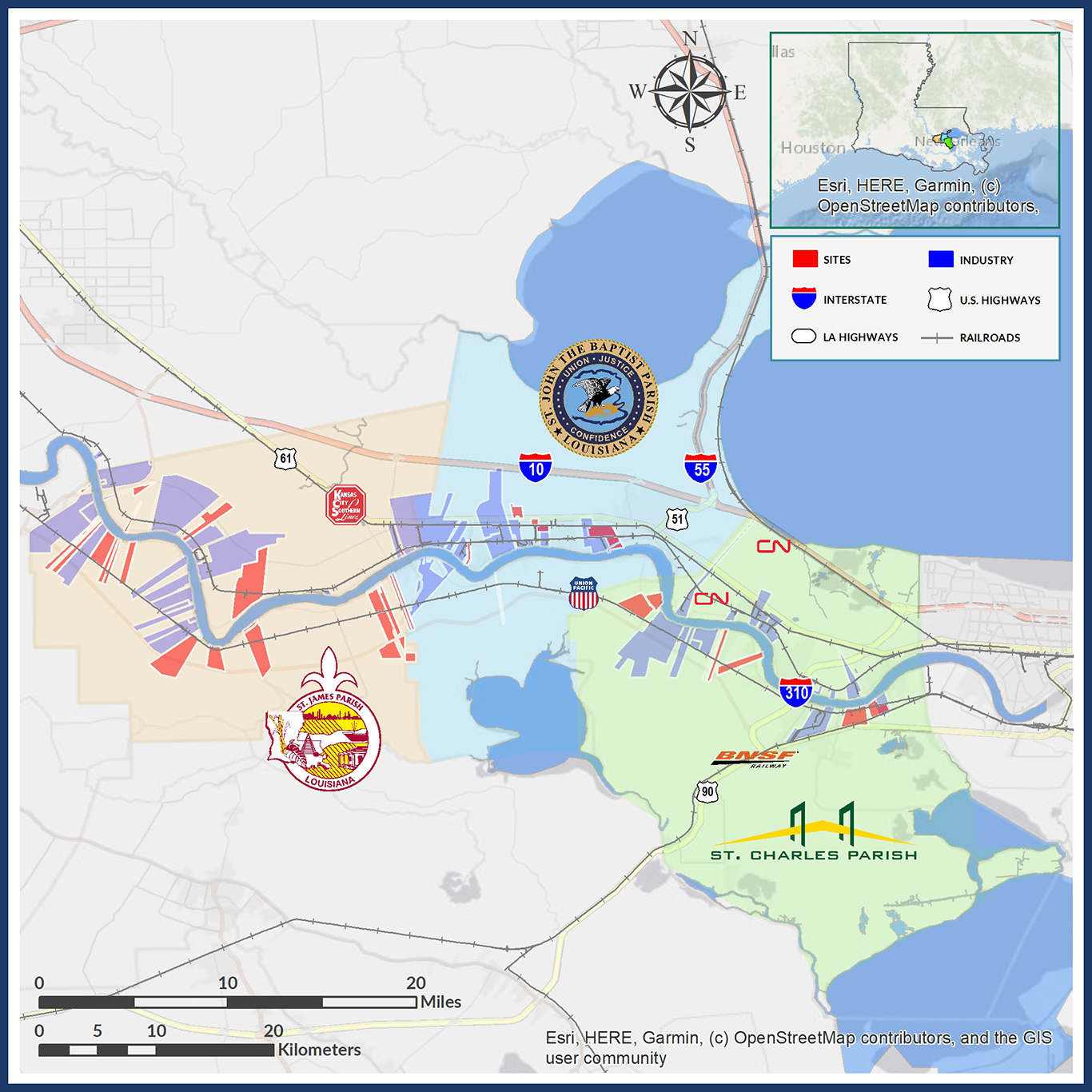
A computerized Geographic Information System (GIS) allows the Port of South Louisiana to track data for available sites, river hydrology, resident industry, transportation routes, pipelines, etc. The system is continuously updated and maintained in-house as a major component of the Port’s business development and marketing. Click on the buttons below to explore properties and industrial partners in each parish.