Transportation
The Port of South Louisiana’s versatile, all-purpose combination of water, ground, and air transportation is capable of meeting the needs of the most demanding manufacturer or shipper…
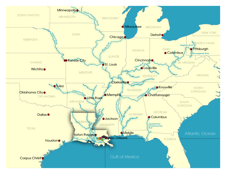
The River Region truly offers an intermodal transportation network of waterways, roadways, rail, and air, an advantage resident companies enjoy. The region sits at the intersection of the Mississippi River and the Gulf of Mexico, which allows speedy and expeditious distribution of products throughout the Americas and to the world.
Vessel and Barge
Within the 108 miles (174 kilometers) of deepwater frontage on both banks of the Mississippi River are more than 50 piers and docks. Vessels drafting 45 feet (14 meters) call the port district throughout the year. Rarely is river commerce halted because of river depth or weather conditions.
The Port of South Louisiana transfers cargo to and from vessels and barges arriving in the lower Mississippi River. The inland barge system, comprised of 19,262 miles (30,992 kilometers) of waterway, moves more than 258 million short tons (source: Port of South Louisiana 2019 data) of cargo upriver to major U.S. markets in the Midwest and Northeast.
Highways
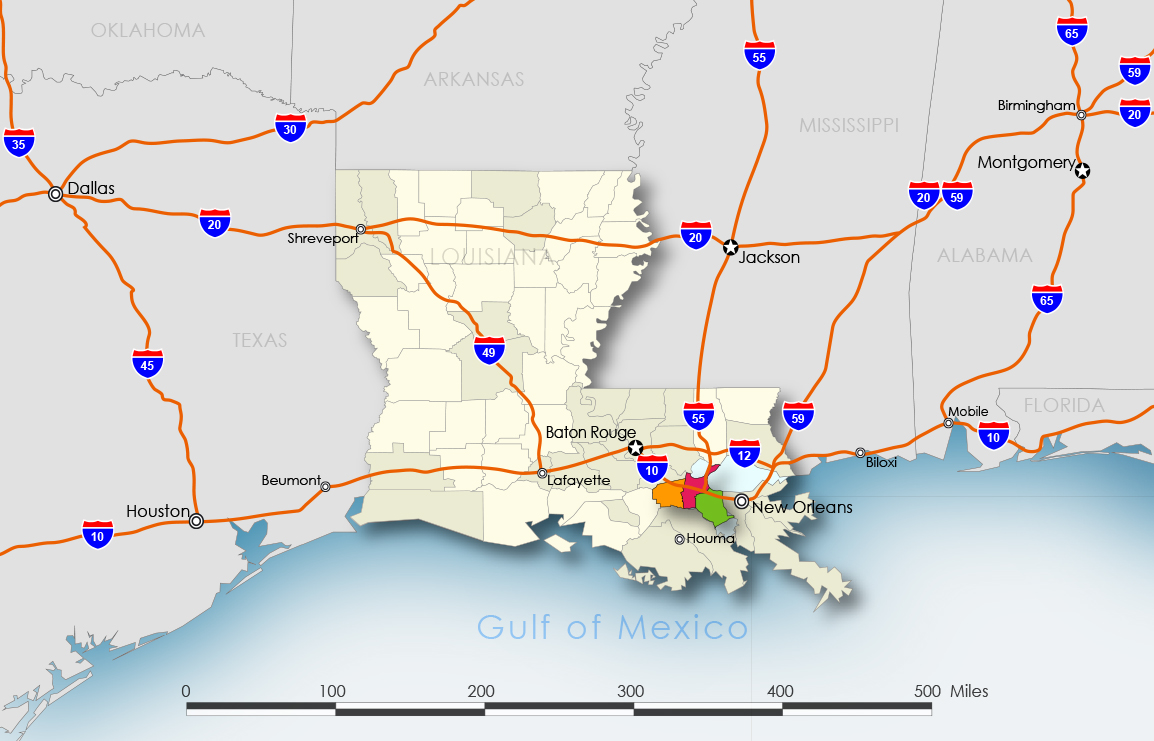
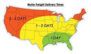
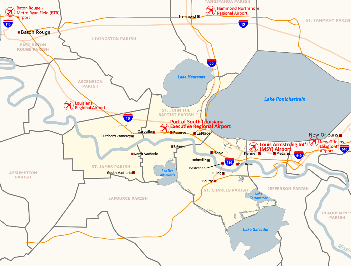
Three major interstate highways connect the Port of South Louisiana to major U.S. markets. Interstate 10 extends across the nation from the Atlantic to the Pacific. Interstate 55 reaches points as far north as Chicago, Detroit, and St. Paul. Interstate 59, which originates near the Port’s northern boundary, allows direct entry to cities in the eastern United States. Just within 600 miles are 20 metropolitan area markets in the southeast U.S. accessible via these interstates.
Throughout the Port’s jurisdiction, an excellent state highway system feeds traffic to these major interstate arteries. Shipments can flow easily, without congestion, into the mainstream of the interstate highway system.
Commuting times to nearby markets via Interstates 10, 55, 12, and 59:
- New Orleans, LA. – 20 miles
- Hammond, LA. – 30 miles
(intersection of I-55 and I-12) - Jackson, MS. – 160 miles
(intersection of I-55 and I-20) - Mobile, AL. – 165 miles
(intersection of I-10 and I-65)
- Houston, TX. – 320 miles
(intersection of I-10 and I-45) - Dallas, TX. – 465 miles
- Little Rock, AR. – 415 miles
Rail
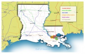
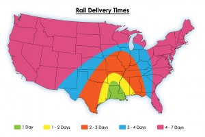
The Port of South Louisiana is served by three trunk line railroads, two on the east bank of the Mississippi River and one on the west bank. The Union Pacific railroad on the west bank provides service to western U.S. markets, whereas the Canadian National and Kansas City Southern railroads, both on the east bank, serve the mid-continental United States, Canada, and Mexico.
Pipeline
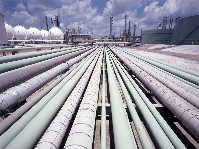 Six major oil and gas pipelines serve the Port of South Louisiana. The Port is the terminus for the nation’s only offshore oil superport, located 15 miles (24 kilometers) off the Louisiana coast.
The superport provides over 1.1 million barrels of crude oil daily through a 48-inch (122 centimeter) pipeline.
The Port is the originating point for Capline, a 48-inch (121 centimeter), 640-mile (1,030 kilometer) pipeline that carries an average of 1.3 million barrels of oil daily from Louisiana to the middle of the United States.
Air
The New Orleans (Louis Armstrong) International airport is just minutes away from the Port of South Louisiana with daily passenger and commercial air services are available to major airports throughout the United States, Mexico, Europe, Central and South America, and Canada.
Other area airports, including the Port of South Louisiana Executive Regional Airport (with a 5,150-foot paved runway), offer private, business, and/or air freight services and storage (cold included).
